
Sector 10, Owamboland revisited in 2006
This is a photo of Oshikati today. Taken some distance along the road towards Ruacana. Note the lamp posts with the twin heads on the island in the middle of the road. The one on the right still has the Christmas lights fitted to it. It was a very good rain year. One of the things that has not changed is the white sand.
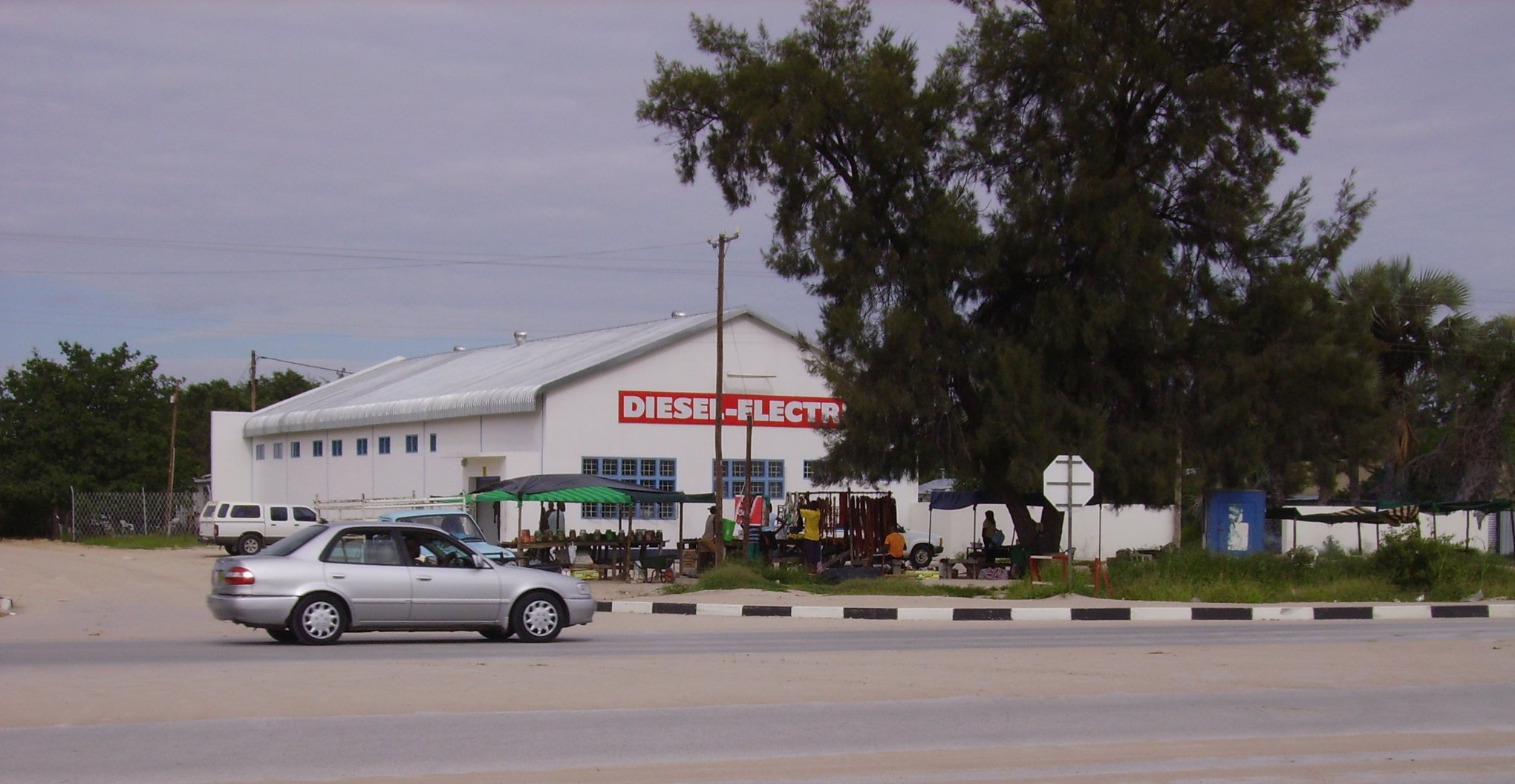
Well known businesses have opened up but with the roadside stalls in front. Taken at the same place as the previous photo.
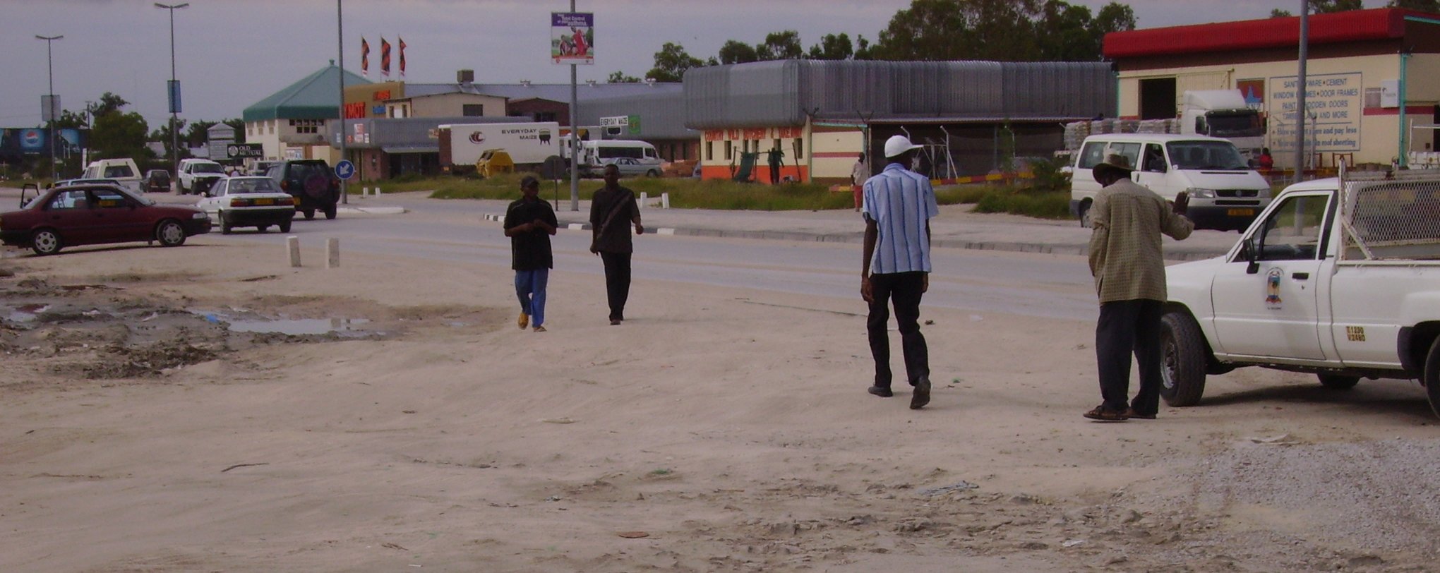
A better photo of the main road towards Ruacana.
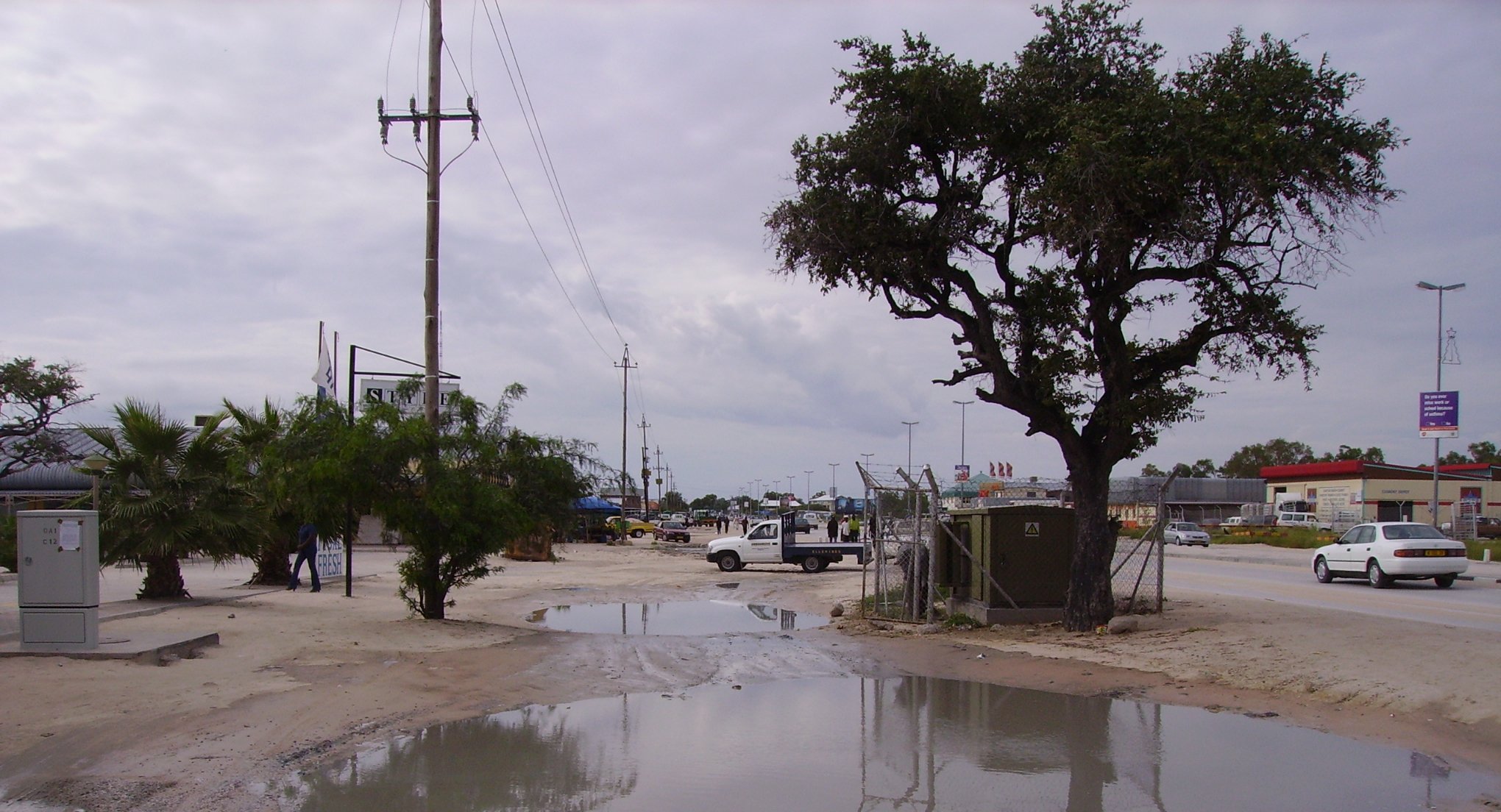
The main road between Oshikati and Ongwediva is now totally built up and the two have grown into each other. This is today a typical scene
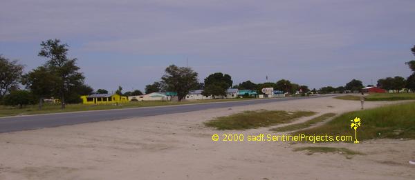
Another photo of the same area. Note the FM tower is still standing behind the tree in the center. The other towers are GSM cell-phone towers.
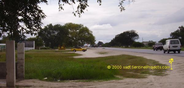
Behind the yellow bakkie is the old Maroela tree that used to hang over the road. This is close to Ongwediva. It is still standing. Note the rubbish skip standing behind the bakkie. These skips are now quite common.
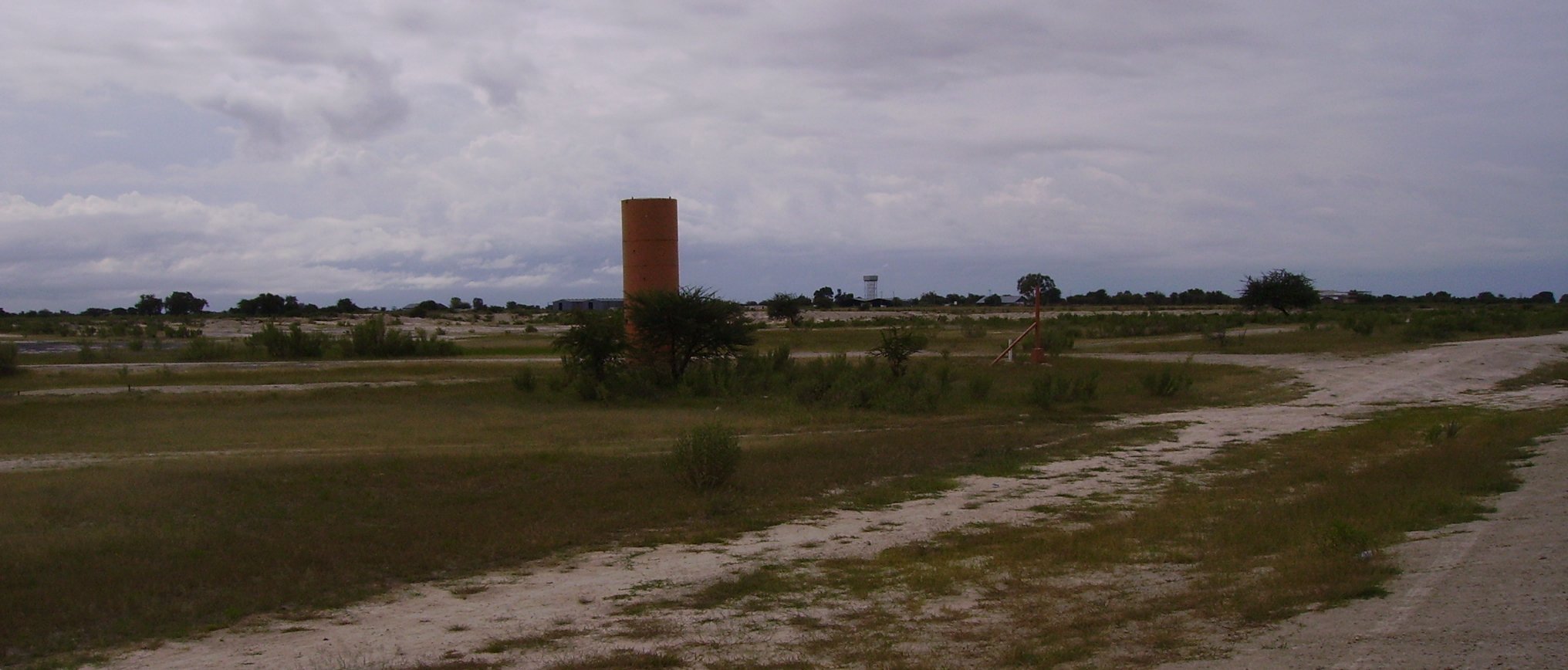
This was the guard post of Ondangwa AFB further along the road towards Oshikati. The fence along the runway was shortened and runs very close to the runway. This guard post and the next one stand in the middle of the veld today. The corner post can still be seen to the right of the post. In the background is the old base.
On top of that hill was the old radar station. That hill was man-made as far as I know. It is in the middle of the veld today.
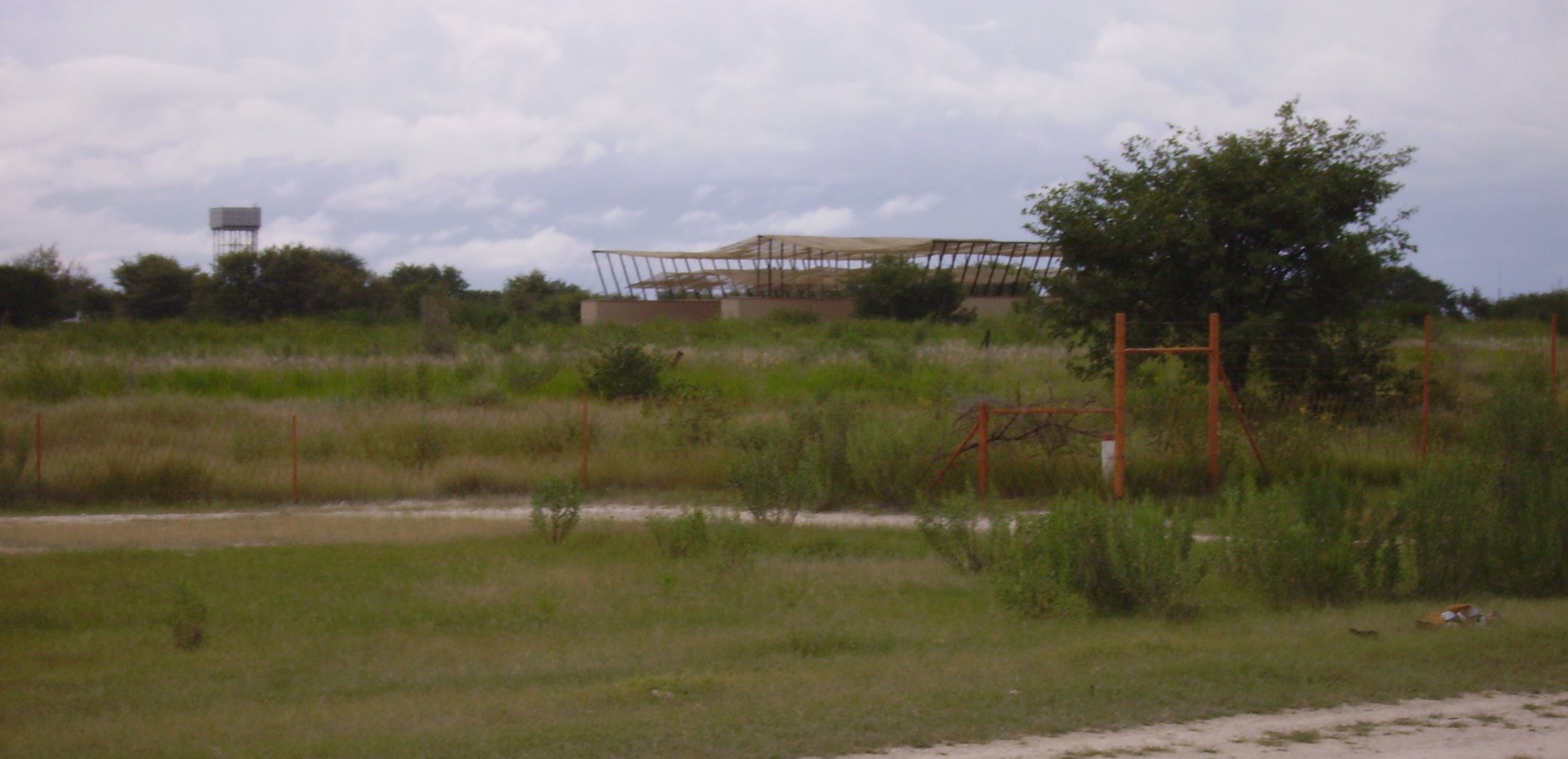
In the early eighties I saw some Impalas parked under that netting. The new corner post of the Ondangwa airport in the front.
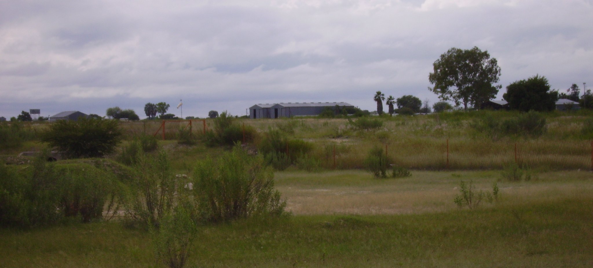
Some of the hangars today.
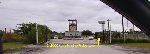
The front gate of the old base as it is today. The base part was turned over to the Development Brigade Corporation (DBC). This was started by the Namibian Government to create jobs for the old Plan fighters. This included brick-making, drilling for water etc. Lately this was supposed to be disbanded but some operations are still running. The vehicle on the left was parked there and the other was a police vehicle leaving the area.
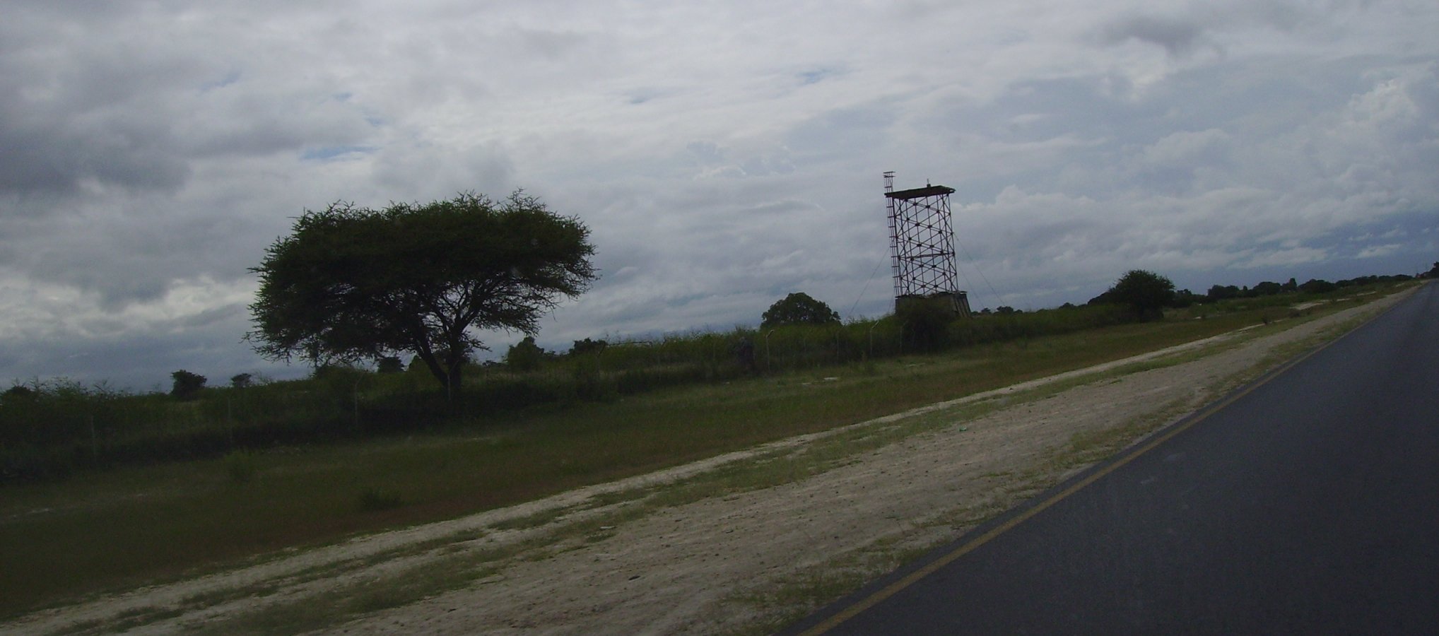
Believe it. It is still there. In the early eighties a 40mm was mounted on top of it. This is the tower closest to Ondangwa proper. I still have some “doppe” of that canon.
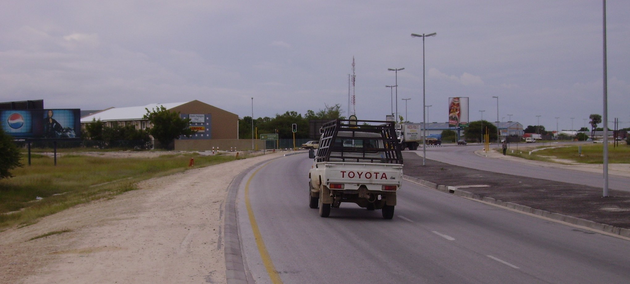
The turnoff to Oshikango as it is today, viewed from the Oshikati side. Oshikango is towards the left. During our time in '82 this was in the middle of nowhere with a few huts in the area. That road was a gravel road then. We used to greet the guys that did the sweeping every day there while they were assembling their equipment. We did the school bus escort every day. The brown building is a hotel that sports the DHL logo as well.
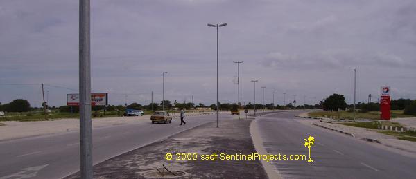
The main road that used to pass along the side of the "white" part of Ondangwa. Today it has islands, street lights, robots and a lot of speed bumps.
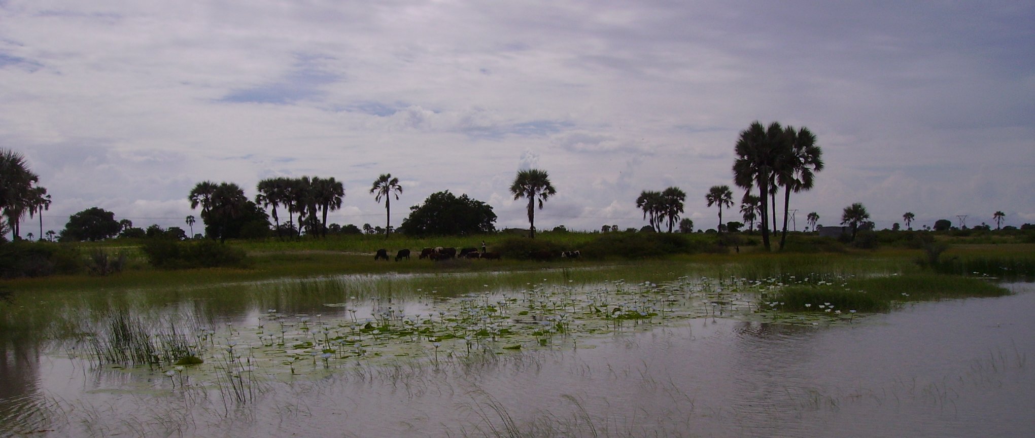
Shonas in the area of the Onathingi bridge. That bridge was removed and filled in apparently. I tried to find it, but as our time was limited, I could not identify it from the landmarks I remembered. It was a very good rain year and the photos are just for the guys that remember getting stuck in them.
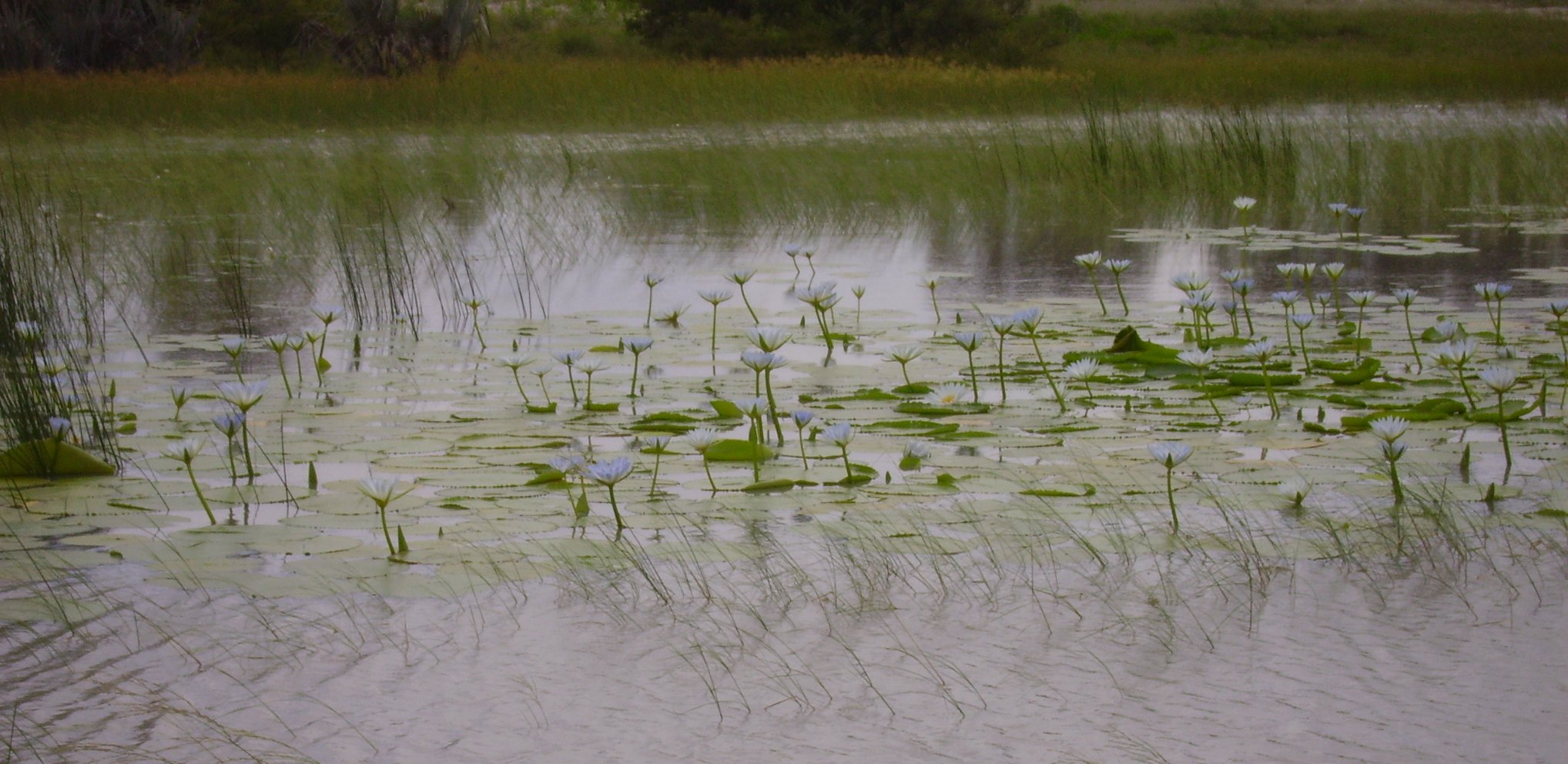
As above.
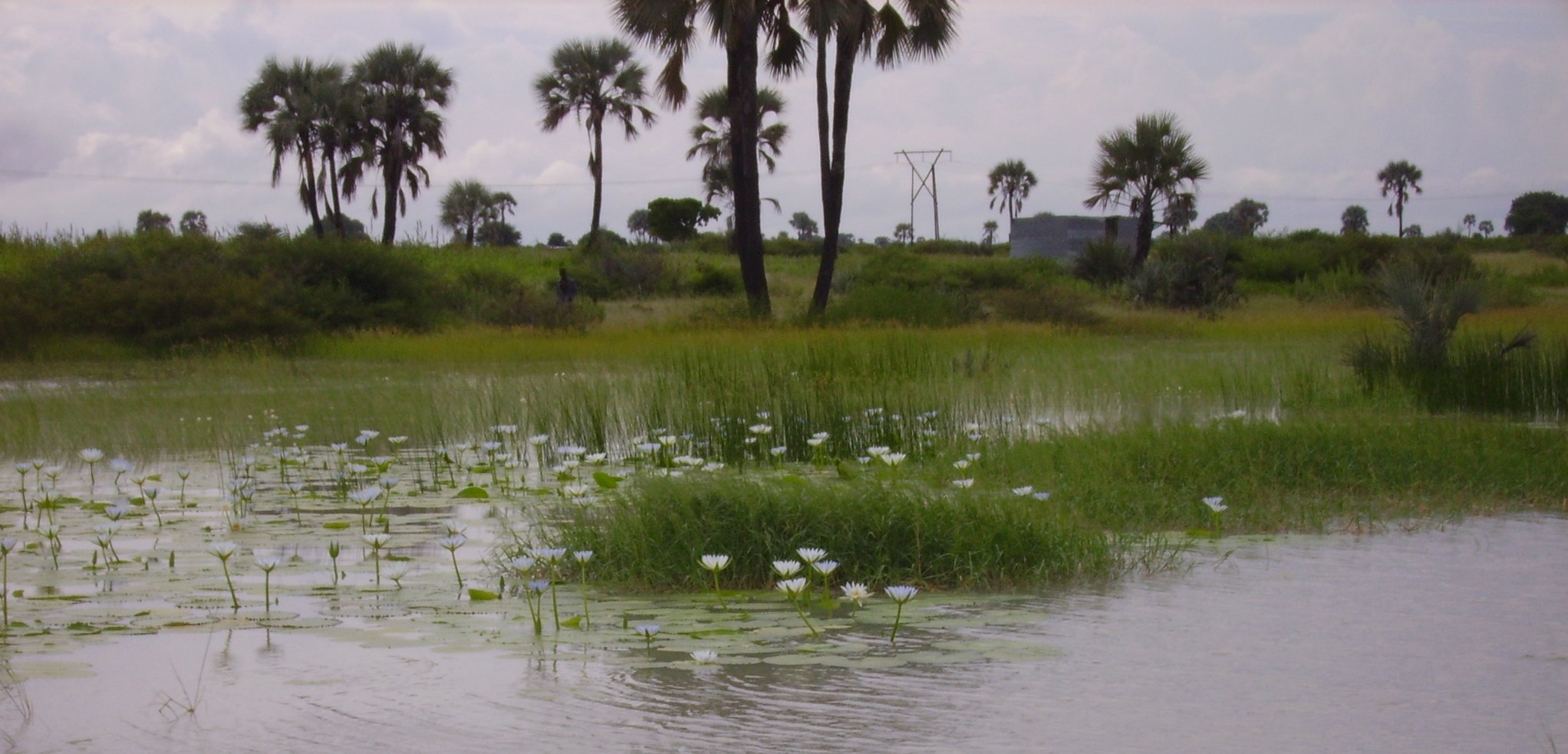
As above.
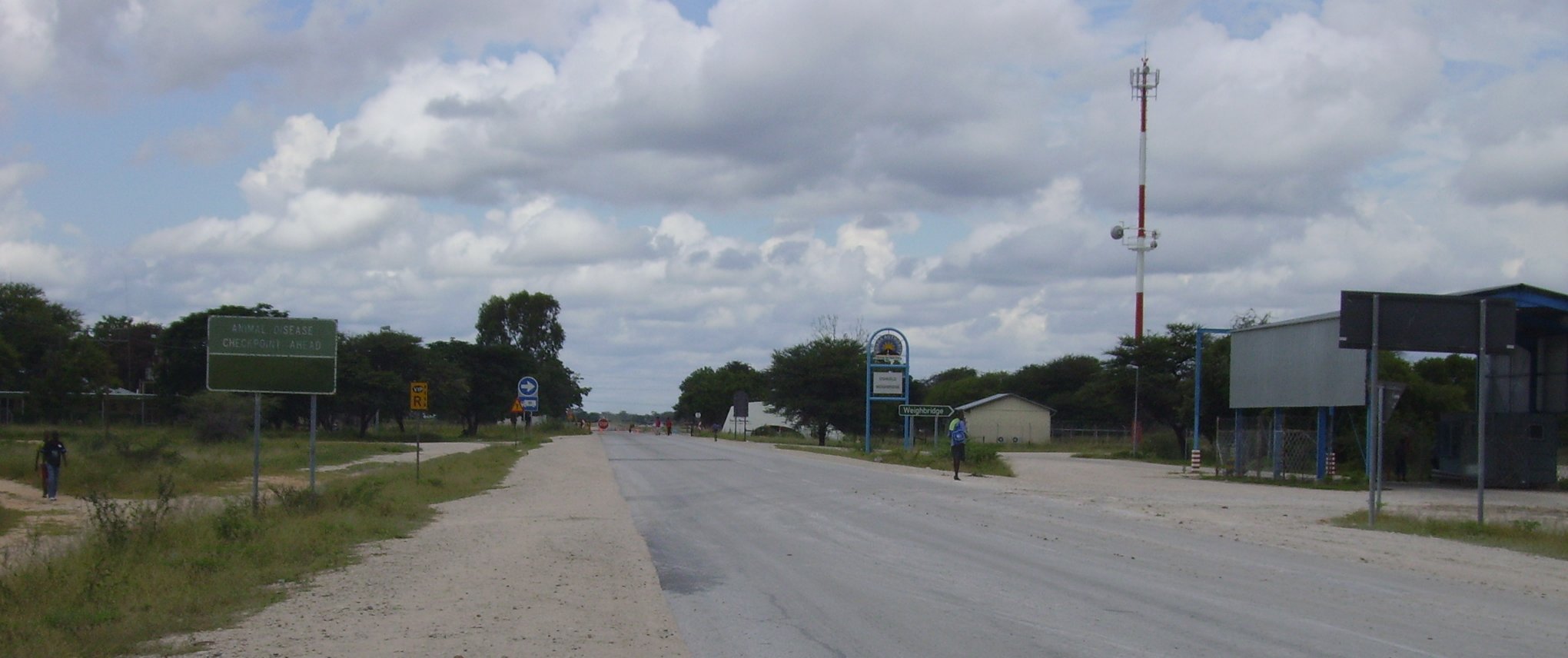
Oshivello gate seen from Ovambo side. They have added the GSM tower and a weigh bride for trucks. Some of the road signs are still the same, faded but still there.
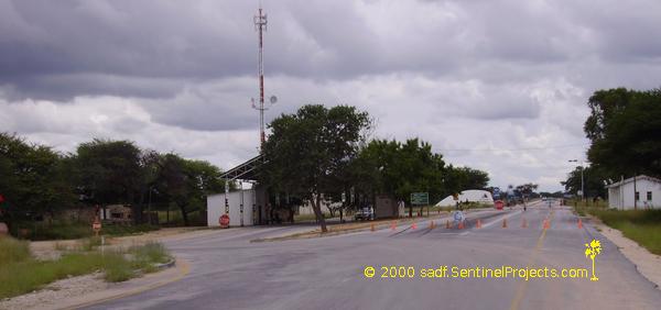
Oshivello gate from the commercial farming side. The veterinary guys are still there. They still wear the same uniform more or less and you still sign the form on leaving Ovamboland. The police guys are also still there but with a different uniform and attitude and are mostly unarmed. You still turn off to the left and park under the roof while they check your license etc. There is no curfew today.
Published: 27th April 2006.
Here is a shortcut back to the Sentinel Projects Home Page
